


Search

Locally owned and Operated for 25 years.
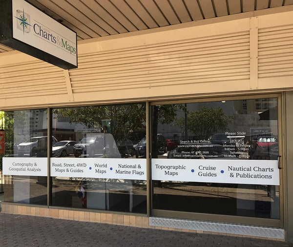
Cairns Charts & Maps has been supplying professional navigation products and the best topographic and road mapping for 25 years.
Come and visit us at our new location: 25 Grafton St, Cairns City.