
Basic 3D Shaded Map
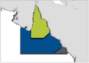
This is an example of representing various service areas in a slightly more graphically interesting way.
Each of the coloured areas is a polygon of the real world, and by applying vertical offsets we can make then pop out and shadow.
Further layers such as local franchises, or key transport routes can be included, again with 3D affects to make an accurate, but interesting cartographic representation.
