Cartography and Geospatial Analysis
At Cairns Charts and Maps we don't just sell maps, we create them!
Maps don't just look great, they offer a way to display and understand information that a graph and table could never convey.
Whether you are looking for a one off, or an ongoing service, we are here to help you realise the full potential of your data.
Most businesses work with or collect spatial information; but extracting the hidden benefits of that data takes the right tools and processes. Cairns Charts and Maps can work with you to discover the power of your data, or help you design a data collection plan to achieve objective evidence about your business and practices.
Please take a moment to read a few of our blog posts to see how Geospatial Information and quality Cartography can benefit your business.
Support to Royal Commission
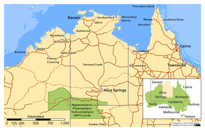
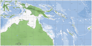
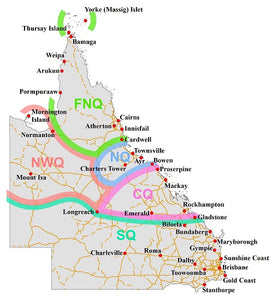
We were approached to support the Royal Commission into Violence, Abuse, Neglect and Exploitation of People with Disability with producing some maps to help visualise regions being discussed at public hearings. The maps provided were simple, easy to read and clear in their focus. We produced a set of four maps covering, Far North Queensland, Central Australia, Northern Australia and North West Western Australia. As always, nothing is straight forward in the world of spatial information, and we needed to determine the extent of the NPY Lands - which as far as we could doesn't have an 'official' boundary, as...
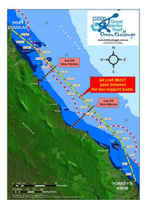
Hekili Ocean Challenge
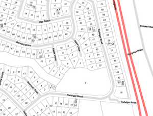
Numbered Properties in Mount Sheridan
Basic 3D Shaded Map
Street Map for Realesate Agent
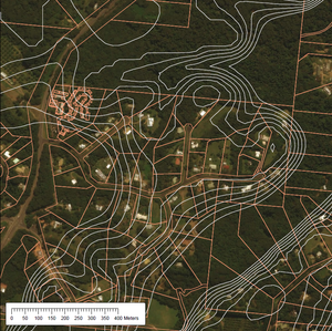
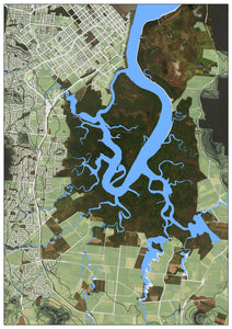
Satellite Imagery, Land Boundaries and Topography
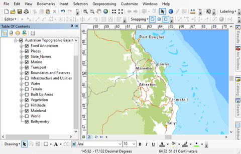
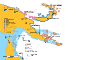
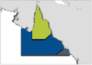
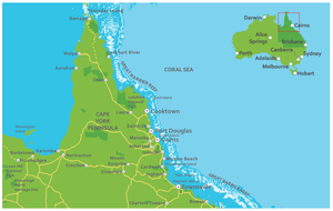
Region Map of Far North Queensland
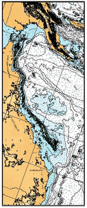
Policy Area for Marine Insurer
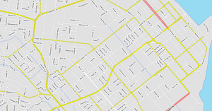
Cairns Street Map

Simple, Free, Black Line Maps

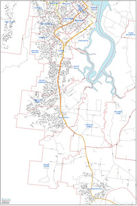
HUGE Wall Map of North QLD and PNG
Land Parcels and Analysis of Proximities
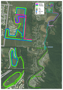
Fun Run Course Map
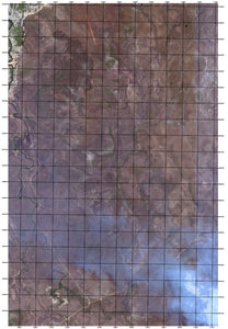
Satellite Imagery with Grid Overlay
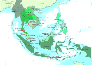
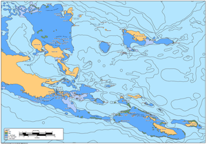
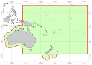
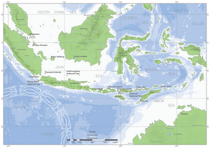
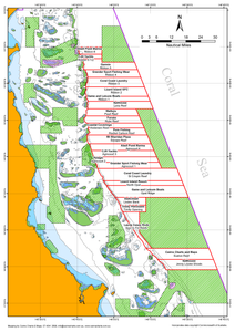
Cruise Region of ASEAN