
QLD 6563
QLD 6563
Digital Products: You will receive an email shortly after checkout containing links to download your products.
If you do not receive this email within 30min, please check your Junk / SPAM email folder, prior to contacting us.
Description
This Topographic Map is produced by the Department of Natural Resources and Mines (DNRM), part of the Queensland Government.
This product is continously updated with the latest information available. New editions are generally published in Oct/Nov each year, however minor updates are constantly being included.
DNRM maps are produced automatically by computers, with minimal human oversight; so some duplication of information and occasional minor cartographic inconsistencies can be found.
The PDF version of this can be printed at home or sent to a professional printer for a 100% scale reproduction.
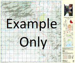
At this scale, 1cm on this map represents 1km on the ground. A standard map (which is square) covers an area of approximately 54km by 54km, with a contour interval of 20m. This map contains natural and constructed features including road and rail infrastructure, vegetation, hydrography, contours, localities and some administrative boundaries.
Packsaddle Waterhole Andersons Waterhole Battle Creek Branch Creek Buchanan Creek Buck Hill Central Creek Crosby Culdara Culdara Creek Culdara Lagoon Dilldoll Rock Eleven Mile Creek Four Mile Creek Four Mile Lagoon Hells Gate Johnnys Waterhole McGillverys Creek Moores Creek Percy Creek Pioneer Waterhole Rydal Six Mile Creek Snake Creek Snake Lagoon Stony Creek Tebay Thalkamurra Waterhole The Knobs Lagoon Wansfell Wentworth Westmoreland Hann Creek Nings Waterhole Crooked Creek Four Mile Waterhole Pioneer Lagoon Lake Morgan Camp Ridgeway Scrutton Creek